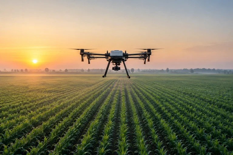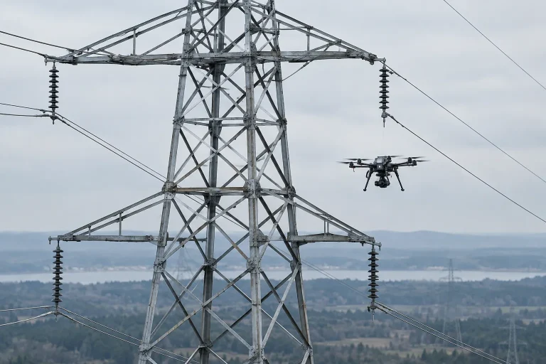

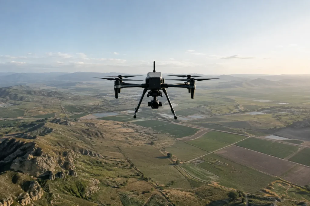
Choosing a payload for mapping and survey work is about matching the tool to the data you actually need to produce. The right answer depends on the terrain, the required accuracy, and how the results will be used downstream — not on the largest specification you can find.
Start with the output, not the sensor
Before comparing payloads, define the deliverable. Is the goal a visual overview, a detailed orthomosaic, or a measured elevation model? Each output places a different demand on the sensor and on the platform carrying it.
Weight, endurance, and integration
- A heavier payload shortens flight time and can change the aircraft’s handling
- Mounting, power, and data links need to match the sensor’s requirements
- Data handling matters: the workflow should move from capture to a usable result cleanly
Payload selection is an integration decision as much as a sensor decision. The platform, the mounting, and the capture workflow must behave as one system for the survey to come out dependably.