
NEXA / APPLICATIONS
Agriculture
Aerial platforms for field-scale monitoring that support precise, responsive crop management across large farms.
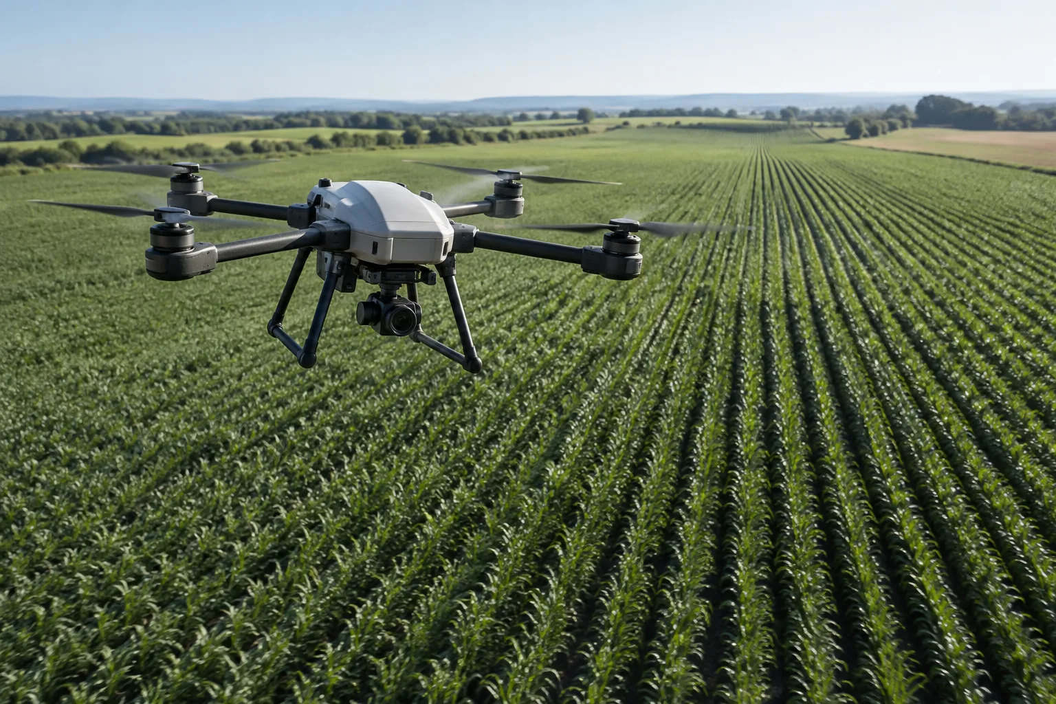
Field-scale coverage
Monitor large fields efficiently where walking or driving is impractical.
Repeatable passes
Automated routes give consistent coverage across the growing season.
Payload-matched sensing
RGB, multispectral and thermal options chosen around the crop condition.
Responsive monitoring
Repeatable capture supports timely, data-driven crop decisions.
Application scenarios
Our platforms are configured around the payload, range and data requirements of each field-monitoring task.
Crop health monitoring
Vegetation condition and variability across fields and growth stages.
Field scouting
Rapid visual check of emergence, stress and problem areas.
Variable-rate support
Crop maps that inform where inputs are applied.
Irrigation & drainage
Moisture and water-stress assessment to guide irrigation decisions.
Land & canopy assessment
Canopy cover and land condition across broad farming areas.
Data-driven decisions, field by field
The right drone platform, payload and mission workflow combine into reliable field data for precise, responsive crop management.
Automated flight
Pre-programmed routes give consistent, repeatable coverage across large fields.
Multispectral imaging
Spectral data supports vegetation and crop-condition assessment.
Thermal sensing
Identify moisture and canopy-temperature differences across a field.
Repeatable monitoring
Timely, repeatable capture supports responsive crop decisions all season.
From mission planning to inspection data
A clear workflow turns a site into usable inspection records.
01
Plan mission
Define the field area, altitude, overlap and target ground resolution.
02
Capture data
Collect RGB, multispectral or thermal imagery across the field.
03
Analyze
Process imagery into vegetation and crop-condition products.
04
Act
Use the field data to guide scouting, irrigation and application decisions.
05
Deliver results
Export georeferenced maps for the farm management system.
Configure the platform around the mission
Each monitoring program starts with the crop decisions you need to make. We match the platform to the field, the season and the data you rely on.
Payload
RGB or multispectral camera chosen around the crop condition being assessed.
Range & endurance
Matched to the field area and the passes a season of monitoring requires.
Control & data
Positioning and mission planning configured to your field workflow.
Environment
Terrain, wind and local site conditions inform the platform choice.
Flexible payload integration
NEXA platforms can carry the payloads a mission needs. Send us your requirements and we will evaluate the fit.
RGB camera
Multispectral
Thermal camera
Zoom camera
RTK / GNSS
NDVI-ready
Custom sensors
Post-processing
Frequently asked questions
Common questions about choosing and configuring a farm-monitoring platform.
Can the drone carry our own camera or multispectral sensor?
Yes, depending on payload weight, mounting, power supply, data interface and aircraft configuration. Send us the payload specifications for evaluation.
What vegetation products can be produced from the data?
Captured imagery can be processed into vegetation-index and crop-condition maps using appropriate software.
Can accuracy be improved with RTK?
Georeferencing accuracy depends on platform capability, GNSS / RTK support and processing method. Tell us your target accuracy and we will advise.
Do automated missions work over large fields?
Waypoint missions and planned routes support consistent, repeatable coverage across large areas, depending on the selected platform and conditions.
What information do you need to recommend a platform?
Field area, crop type, payload, required ground resolution, flight time and operating environment are the most useful starting points.
Can we add our real product specs to this page?
Verified product data is the preferred source of technical proof. We can keep the application explanation concise and let confirmed specs support the detail.
Related applications
Other ways NEXA platforms are applied.
Related application
Related application
Planning to modernise your farm monitoring?
Tell us about your fields and monitoring goals, and we will discuss the right approach and platform for your operation.